5 Reasons for adding Floating Car Data to your data mix
With billions of users relying on GPS apps every day, floating car data can be leveraged for effective traffic management.
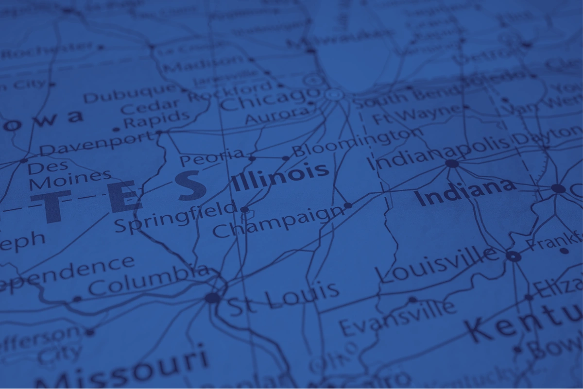
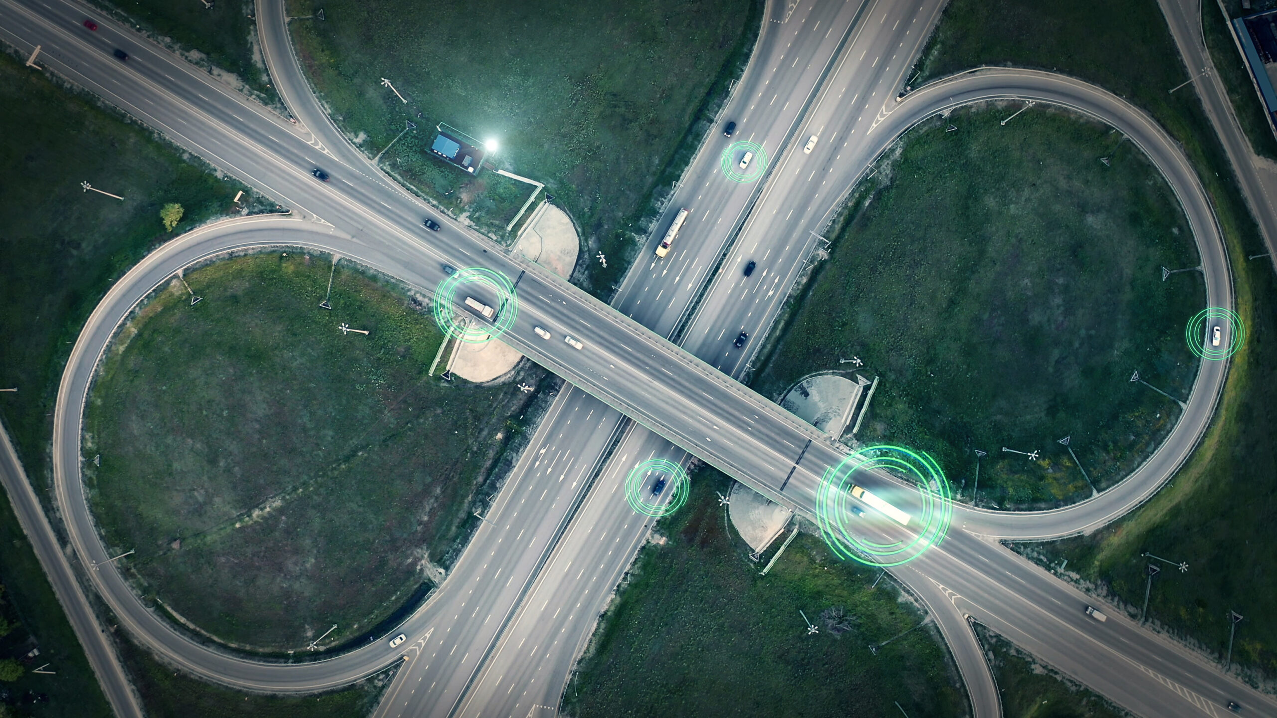
GPS-enabled vehicles, cell phones, and smart devices contain time-stamped speed and location data. With billions of road users relying on GPS navigation apps every day, there is an incredibly large vault of crowdsourced floating car data which can be leveraged by transportation agencies for effective and efficient traffic management.
Real-time speed and location data
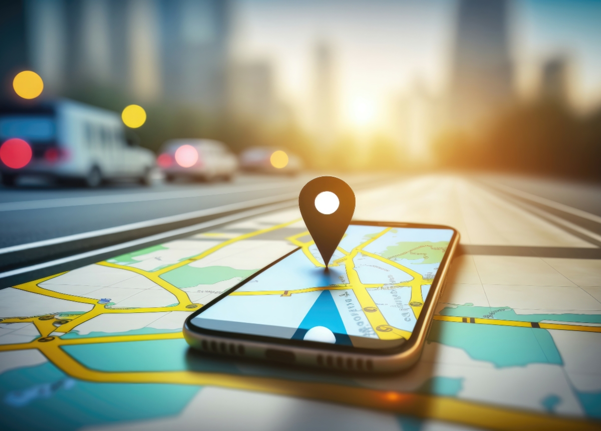
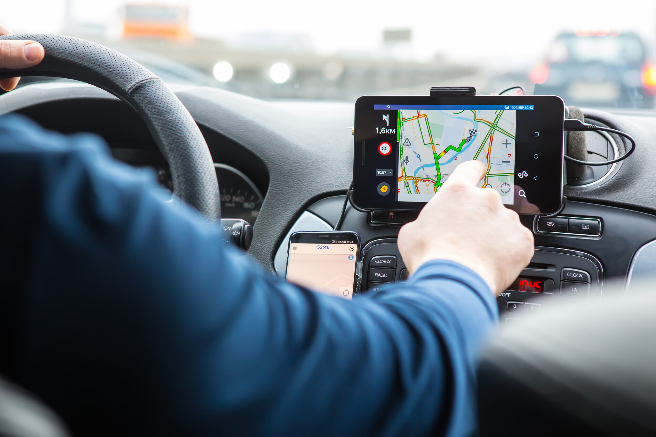
Floating car data (FCD) is data sourced from GPS-enabled navigational apps used daily by billions of road users (such as Google Maps, Waze and HERE). GPS-enabled fleet tracking apps, which help to manage hundreds of millions of commercial vehicles, also contain FCD data. With an increase in ride shares and delivery services, more drivers use some form of GPS-enabled apps in work settings to find optimal routes.
Frequently transmitted in seconds or minutes, floating car data is ideal for a variety of transportation use cases that require real-time traffic data such as congestion monitoring and mitigation for work zones, road closures or large events.
Replace sensors with floating car data
Real-time traffic monitoring using sensors and cameras can be costly and time intensive, especially for short term conditions or projects, such as analyzing traffic patterns in work zones or during seasonal traffic fluctuations. In these cases, the installation of the hardware lacks long-term return on investment, and they simply can’t be installed everywhere where incidents and congestion might occur.
For short term and ad hoc needs for collecting live speed and travel time data, floating car data can serve as a valuable, nimble, and cost-effective source for traffic operations and management.
Keep reading to learn about how floating car data can benefit your data mix!
5 Reasons for Adding Floating Car Data to Your Data Mix
1.High penetration rate
From navigational to fleet tracking apps, billions of active app users’ data is collected anonymously every month. The high penetration rate of these apps translates into high sample sizes for transportation projects, where, although 100% of road users are not using a GPS-enabled app, there is a large percentage of them that do. As such, floating car data is a reliable and statistically significant representation of true traffic flow.
2. High quality data
Because floating car data comes from GPS-enabled devices and apps, the data provides a number of advantages, such as near real-time transmission of signals, high ping frequency at every few seconds, and a high accuracy of pinpointing object location (of less than 3 metres typically). Compared to other sources of location data, such as Location Based Services (LBS) derived from mobile apps, floating car data is demonstrably more accurate and timely, which translates into more accurate analytics and impactful outcomes for transportation projects.
3. Cost savings
Floating car data saves you the costs of hardware and installation labour, translating into tens of thousands of dollars in savings per project. Through data analytics platforms such as SMATS’ iNode, users are charged on a pay-per-use basis. With the precision of location selection in iNode, you could select a project location as small as a street corner, and only pay for that data.
4. Ease of use
If you’re looking to get insight on specific roadways or intersections for short-term projects or specific time periods, using floating car data makes it easy. Apps such as iNode simply require a few clicks to define the projects on a map, set up the project criteria (such as date and time range), thresholds (such as maximum speed), and email notifications. Then walk away and let iNode do the work for you. Even better, you can collect and analyze data for multiple projects simultaneously with ease, and spend your time on designing solutions.
5. No blind spots
With its high penetration rate, floating car data gives you visibility into any road segment. However, depending on the functionalities of the data analytics apps (e.g., some apps are focused on high-level network-wide screening only), users may or may not be able to zoom in on their desired road segments. With iNode, users can zoom in on (and select) any type of corridors, intersections, or road segments for your projects, including those outside your jurisdiction, without having to worry about “blind spots”.
Real-time floating car data is a game-changing technology that enhances the data options for traffic management. By improving operations at a low-cost, it empowers public agencies to leverage and more effectively use their existing Intelligent Transportation Systems while providing flexibility and robust data for ad hoc projects.
Floating car data allows real-time roadway monitoring, automated traffic alerts, and instant feedback about your congestion mitigation strategies. Platforms like iNode allow data export features for further processing, report preparation, and integration into platforms like GIS for deeper analysis and visualization.
To learn how floating car data can be used in different transportation use cases, keep an eye out for our next blog!
Floating car data complements your data mix with real-time, low-cost traffic data to support ad hoc data collection needs.