A unified platform for traffic operations, planning, and safety
Transforming roadway data into intelligence
Solving transportation challenges across every network and industry
What challenges are you solving?

Instant traffic volume data for every road in your network
Multi-year historical trends and local model calibration to fine-tune accuracy for your region.
Every road, Every functional class
Volume estimates across interstates, arterials, collectors and local roads, covering your full network from a single platform.
Local model calibration
Use your own ground-truth counts to retrain the model for your region, self-serve or as a managed service.
Multi-year historical data
Annual, monthly, hourly and 15-minute volumes for mid-block and intersections, across multiple years.
Continuous improvement
Each new round of count data refines the model. Accuracy is iterative, adaptive and always moving forward.
Great companies trust SMATS, your partner in smarter, data-driven mobility
.jpg)


Actionable insights from the metrics that matter
Congestion metrics
Support both real-time and planning analysis.
Includes:
- Travel time-based metrics (TTI, PTI, BI)
- Speed-based metrics
- Delays
- Level of Service (LOS) for intersections and corridors
- Queue lengths
Origin-destination
Analyze movement between links and zones using:
- Trip counts and origin-destination matrices
- Trip durations and length distributions
- Travel times and speeds between origin and destination links or zones
Safety metrics
Estimated using SMATS’ iNode platform with AI-based volume modeling.
Includes:
- Mid-block and intersection volumes
- Turning Movement Counts (TMC)
- Monthly Average Daily Traffic (MADT)
- Annual Average Daily Traffic (AADT)
- Mean, median and harmonic average and percentile speeds
Signal performance metrics
Aggregated by approach and movement for signalized intersections.
Includes:
- Level of Service (LOS)
- Control delay and stopped delay
- Arrival on Green (AOG) percentage
- Split failure rate
- Trusted by public agencies and transportation experts
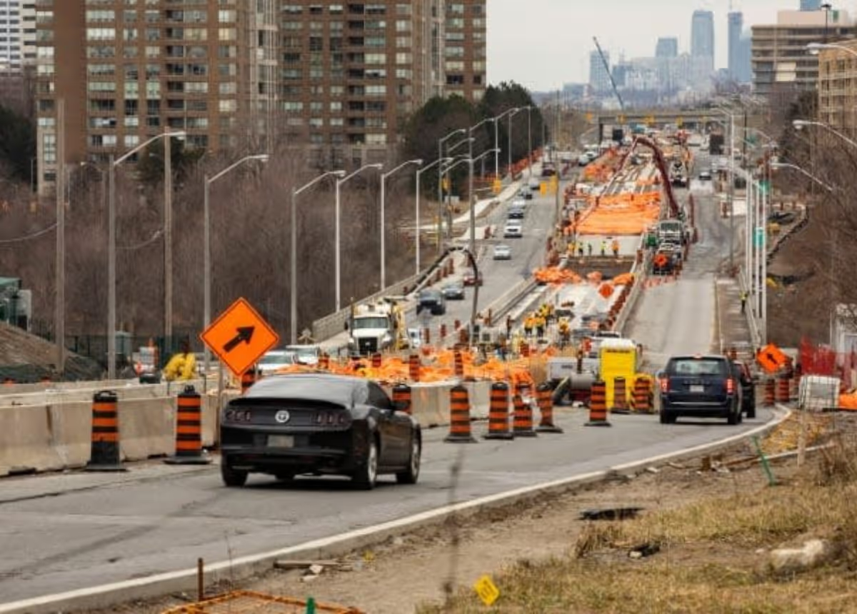
Utilizing Floating Car Data to alleviate construction-related congestion in Canada's largest city
Toronto, Canada

Analyze downtown cut through traffic patterns using Connected Car Data
Franklin, United States

Making Brantford safer: a data-driven road risk assessment
Brantford, Canada
Built by traffic engineers. Shared through insight.

.avif)
.avif)

.png)

Multiple data sources. One unified app.
Floating Car Data
- Bluetooth reidentification data
Smartmicro radar data
Built by traffic engineers. Shared through insight.

Case studies
The Ministry of Transportation of Ontario (MTO)

White papers
The Ministry of Transportation of Ontario (MTO)

Blogs
The Ministry of Transportation of Ontario (MTO)
Book a demo