Frequently asked questions
What is Floating Car Data, and why should I use it?
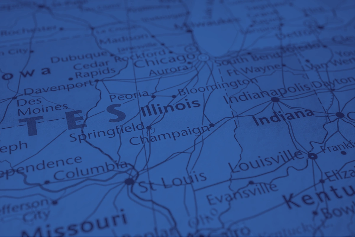
Floating Car Data (FCD) is collected from GPS-enabled vehicles and mobile applications, providing real-time and historical insights into how traffic moves across an entire road network.
Traffic data collected through this approach offers unmatched spatial and temporal coverage and is highly cost-effective with the flexibility to scale according to each project’s specific needs.
SMATS’ solution offers complete road network coverage, spanning urban centers, arterials, highways and rural routes. The data is continuously updated and available 24/7, providing both live and historical insights. Because it doesn’t rely on physical roadside sensors, the system is entirely infrastructure-free, making deployment quick and unobtrusive.
Can SMATS support multi-modal traffic data, such as pedestrians and cyclists?
Yes. SMATS uses smartmicro radar sensors that can detect and classify up to 256 moving objects simultaneously across 12 lanes, with a range of up to 300 meters. The sensors support seven classifications—including pedestrians, bicycles, motorcycles, and various vehicle types—making them ideal for multi-modal traffic monitoring. They also include queue detection, providing real-time alerts when any type of traffic comes to a stop.
Can SMATS technology be used to measure the impact of Out-of-Home (OOH) advertising, such as billboards?
Yes! SMATS technology provides detailed analytics to evaluate billboard performance, including:
- Traffic counts – See how many vehicles, pedestrians, or cyclists pass your billboard.
- Traffic classifications – Understand who’s seeing your ad most often, with classifications like pedestrians, bicycles, motorcycles, passenger cars, trucks, and more.
- Dwell time – Measure how long your billboard remains in view of each passerby.
- Speed of traffic – Assess how fast traffic is moving to estimate viewing duration.
Using Bluetooth sensors, SMATS can also track unique device IDs (anonymized via MAC address re-identification) to distinguish between new vs. repeat impressions and analyze how many billboards along a route were seen by the same individual, offering deeper insights into campaign reach and frequency.
How do I monitor and detect vehicle queues on my private property?
Sites like seaports, mines, waste facilities, event venues, and large parking lots often face traffic congestion and limited visibility into vehicle flow. SMATS’ radar and Bluetooth sensors help land owners and site managers monitor real-time traffic movement, detect queues, count multi-modal traffic volumes, and measure wait times. With automated alerts and predictive insights, you can take proactive steps to reduce delays and improve on-site traffic management.
What is the difference between radar sensors and Bluetooth reidentification sensors?
Radar Sensors
Radar sensors collect data at a fixed point and only while an object is within range. smartmicro’s radar technology is designed to count traffic volume and classify objects into one of seven categories: passenger cars, pedestrians, bicyclists, motorcycles, transporters, trucks or buses, and long trucks. These sensors are ideal for monitoring mixed traffic environments where understanding both volume and mode share is essential.
Read how radar sensors are used in New Zealand to monitor intersection activity and pedestrian safety.
Bluetooth Reidentification Sensors
Bluetooth sensors detect unique, anonymized MAC addresses from devices such as smartphones, smartwatches, and in-car systems. By placing multiple sensors along a route, the system re-identifies devices at different points to calculate metrics like travel time, speed, and delay. This infrastructure-based approach offers a reliable alternative when Floating Car Data is unavailable or lacks sufficient coverage—ideal for use cases like work zone congestion monitoring, port wait time analysis, and origin-destination studies.
Read how Bluetooth sensors are used at terminals managed by Fenix Marines at the Port of Los Angeles to monitor truck wait times and turn times.