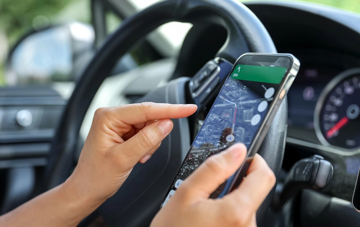
Flexible data ingestion to match your use case
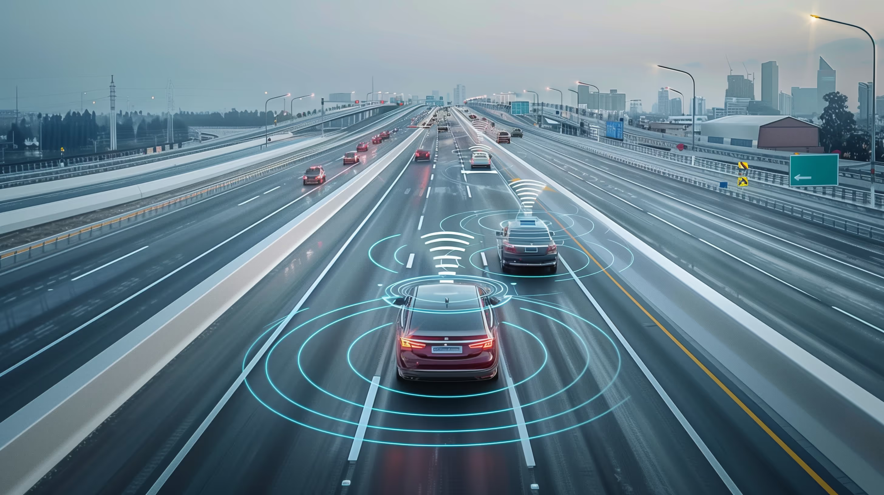
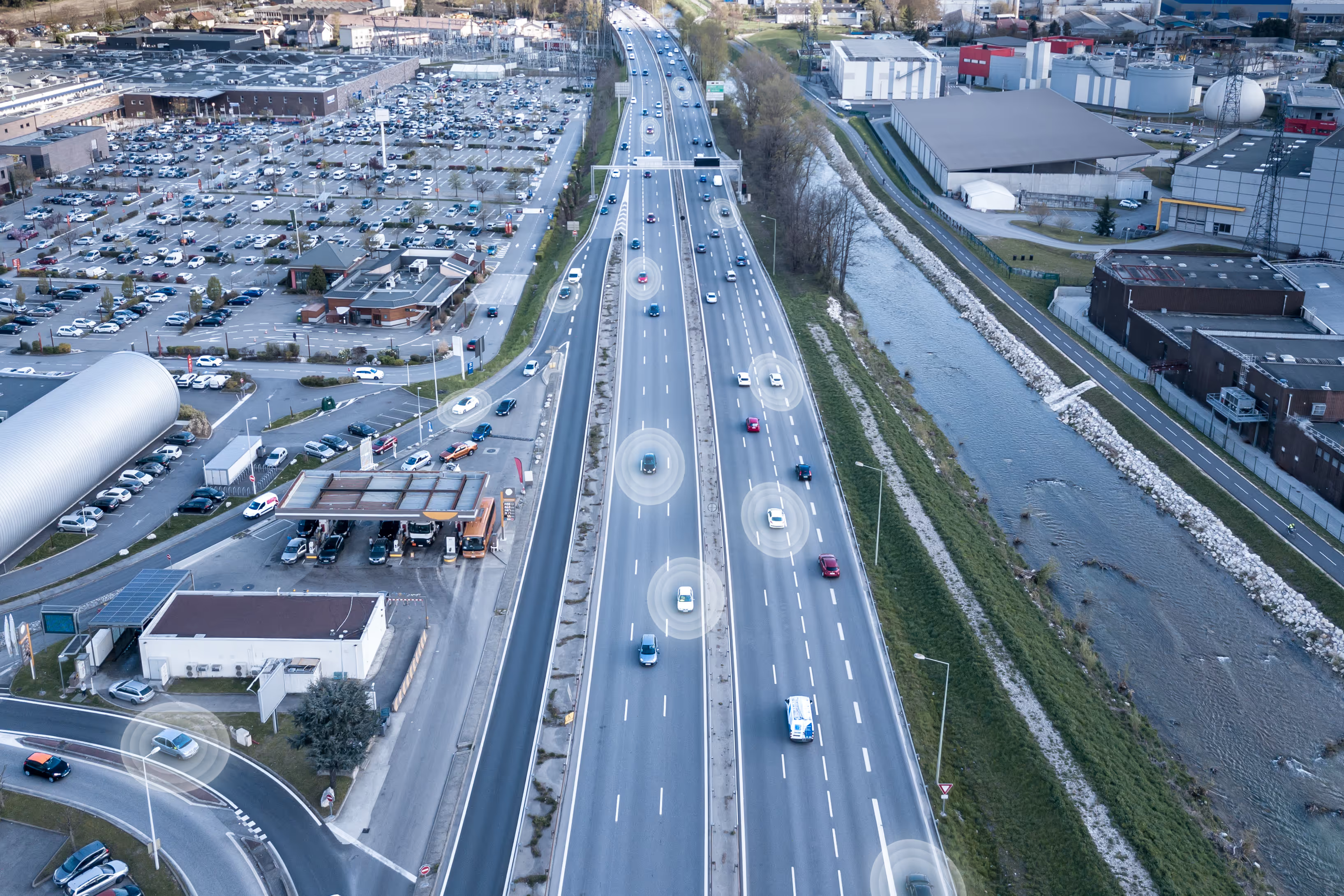
Floating Car Data (FCD)
Floating Car Data (FCD) is collected from GPS-enabled vehicles and mobile applications, providing real-time and historical insights into how traffic moves across an entire road network.
Bluetooth reidentification sensor data
This is data collected by sensors through Bluetooth and Wi-Fi signals emitted from smart devices.
This technology generates travel time, wait (dwell) time and an origin-destination matrix for multi-modal objects.
Radar sensor data
This is data collected by sensors that emit microwaves that reflect off moving objects and return to the receiver.
This technology generates live traffic count, classification, and queue length for multi-lane and multi-modal traffic.
- High-quality data for high-confidence insight
Floating Car Data
- Best-in-class penetration rate
- Historical data updated daily and spanning up to 10 years
- Live data transmitted within seconds
- High spatial resolution, segment-level insights down to 100 feet
Bluetooth reidentification data
- 40-60% penetration rate
- Proven filtering algorithm excluding outliers
- Field-proven in extreme heat and cold
Radar sensor data
- At 99% capture rate
- Forward-firing radar beams enable longer object tracking compared to side-firing sensors
- Higher accuracy in tracking vehicle position and speed vector measurements
- More precise object classification
Metrics you can trust, no matter the use case
Supplemental Data Collection to Fill in the Detection and Metric Gaps
Bluetooth Reidentification Sensor Data
This is data collected by sensors through Bluetooth and Wi-Fi signals emitted from smart devices.
This technology generates live travel time, wait (dwell) time and origin destination matrix for multi-modal objects. At 40-60% capture rate, it fills the gap for data collection in areas without cloud-based big data (e.g. ports).
Radar Sensor Data
This is data collected by sensors that emit microwave that reflect off moving objects and return to the receiver.
This technology generates live traffic count, classification, queue length for multi-lane and multi-modal traffic at 99% capture rate.
Congestion metrics
Support both real-time and planning analysis.
Includes:
- Travel time-based metrics (TTI, PTI, BI)
- Speed-based metrics
- Delays
- Level of Service (LOS) for intersections and corridors
- Queue lengths
Origin-destination
Analyze movement between links and zones using:
- Trip counts and origin-destination matrices
- Trip durations and length distributions
- Travel times and speeds between origin and destination links or zones
Safety metrics
Estimated using SMATS’ iNode platform with AI-based volume modeling.
Includes:
- Mid-block and intersection volumes
- Turning Movement Counts (TMC)
- Monthly Average Daily Traffic (MADT)
- Annual Average Daily Traffic (AADT)
- Mean, median and harmonic average and percentile speeds
Signal performance metrics
Aggregated by approach and movement for signalized intersections.
Includes:
- Level of Service (LOS)
- Control delay and stopped delay
- Arrival on Green (AOG) percentage
- Split failure rate
Speeds
Analyze segment-level speeds using:
- Average speeds
- Percentile speeds (e.g., 5th to 95th percentile)
- Mean, median and harmonic average speeds
Travel times
Measure average travel times between custom points, individual road segments, or links between signalized intersections.
Includes Travel Time Reliability (TTR) metrics such as:
- Travel Time Index (TTI)
- Planning Time Index (PTI)
- Buffer Index (BI)
Volumes and classifications
Estimated based on observed sample counts using Floating Car Data
Volumes Includes
- Mid-block and intersection volumes
- Turning Movement Counts (TMC)
- Monthly Average Daily Traffic (MADT)
- Annual Average Daily Traffic (AADT)
Powered by smartmicro’s ultra-high-definition 4D radar and AI-based classification algorithms, objects are identified based on size, length, and movement characteristics. Seven classifications are supported, including:
- Pedestrians
- Bicycles
- Motorcycles
- Passenger cars
- Vans/transporters
- Trucks or buses
- Long truck
Smart sampling starts here
Get the minimum statistically valid sample size based on your desired confidence level, margin of error and expected variability for any traffic metrics, from travel times to volumes
Built by traffic engineers. Shared through insight.

.avif)
Great companies trust SMATS, your partner in smarter, data-driven mobility
.jpg)


Request a quote